|
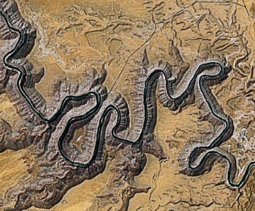
The park is located four miles off Utah Highway 261 near Mexican Hat. Here you can look into a 1,000 foot deep chasm carved through the Pennsylvanian Hermosa Formation by the silt-laden San Juan River. The river meanders back and forth, flowing for more than five miles while progressing only one linear mile toward the Colorado River and Lake Powell. A satellite image is shown below. Calling this place a "park" conjures up the wrong image. There are no trees or grass and I saw only two picnic tables. Very primitive but beautiful.
|
|
|


