EXIT
Wonders of Arizona Workshop - May 2015
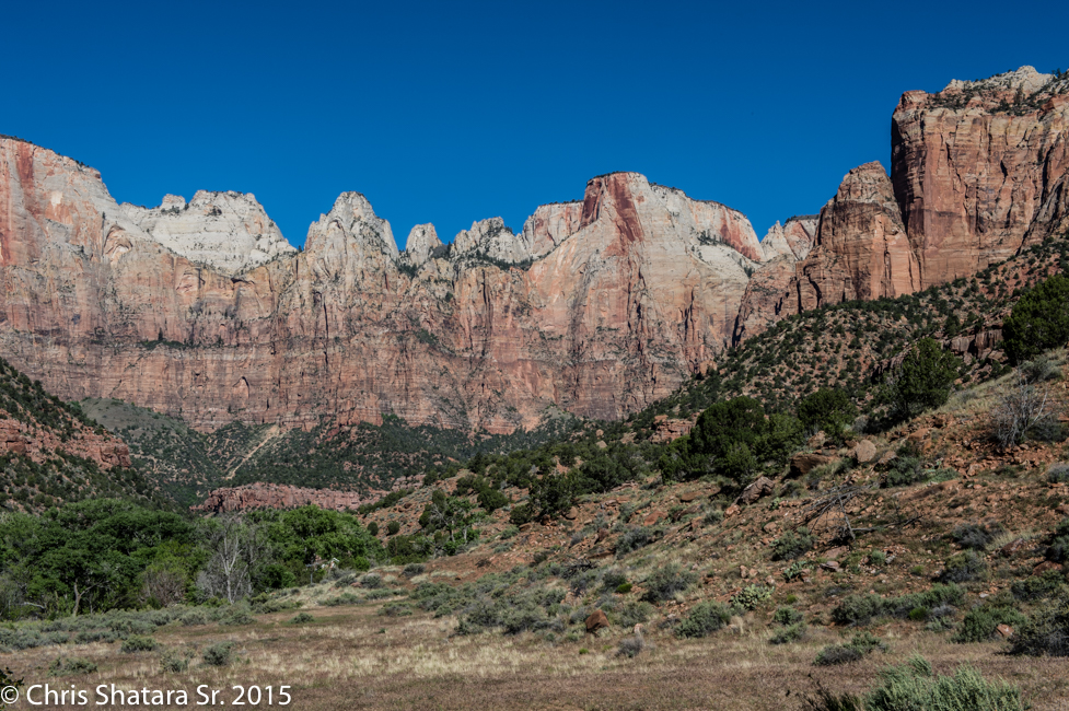
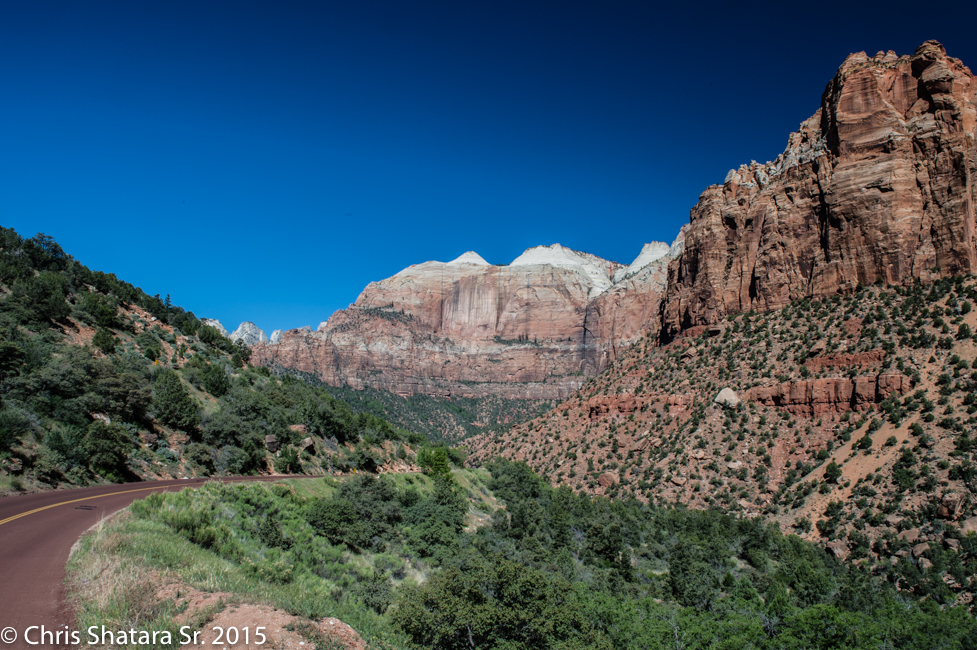
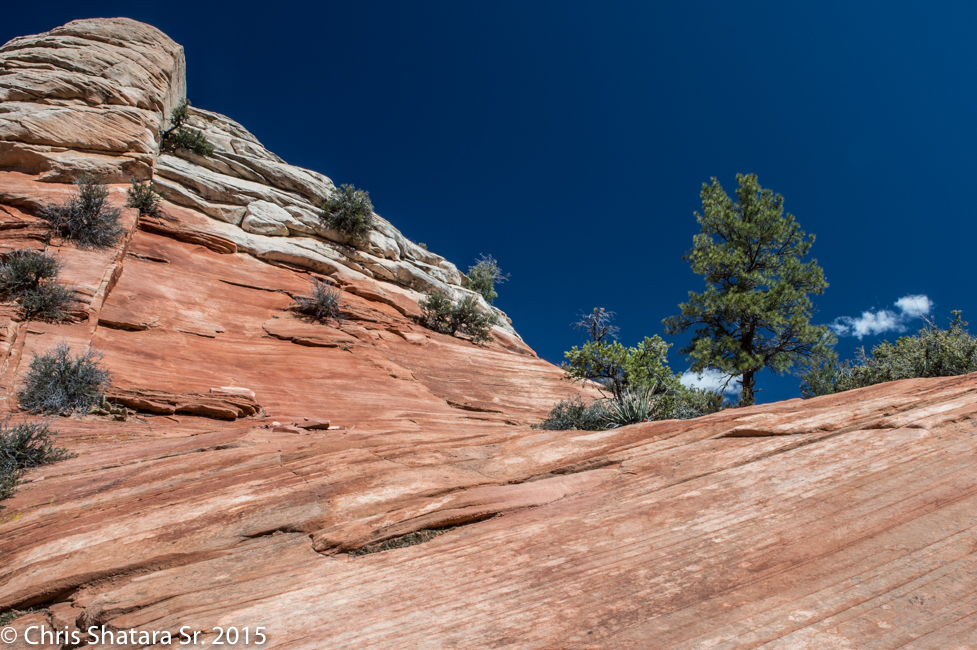
Zion National Park - The canyon wall behind the Zion Museum
Mount Spry and the East Temple
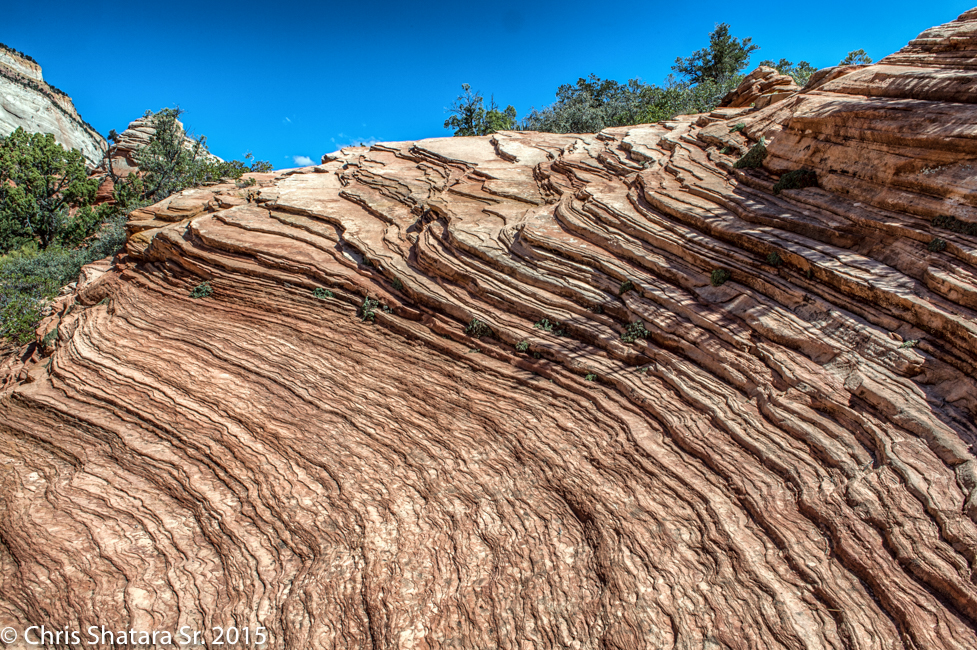
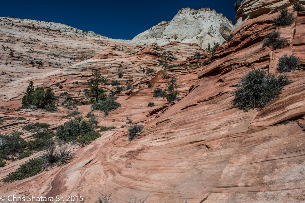
The Geology along the Mount Carmel highway near the east entrance.
Zion National Park
Zion National Park
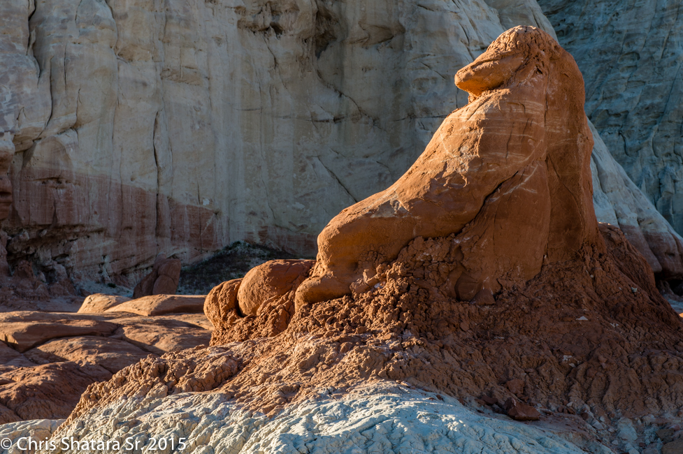
Looks like a reclining animal at The Toadstools, located at mile marker 19 on US-89 in Utah.
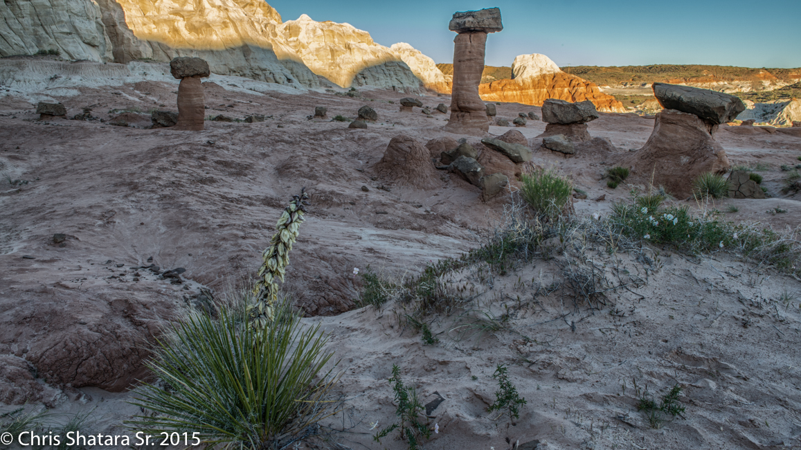
The Toadstools
The Toadstools
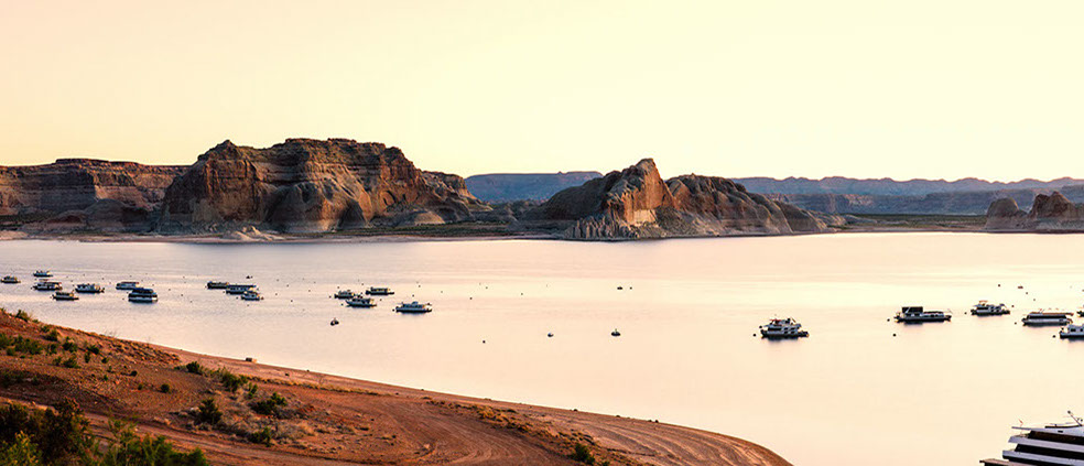
Lake Powell
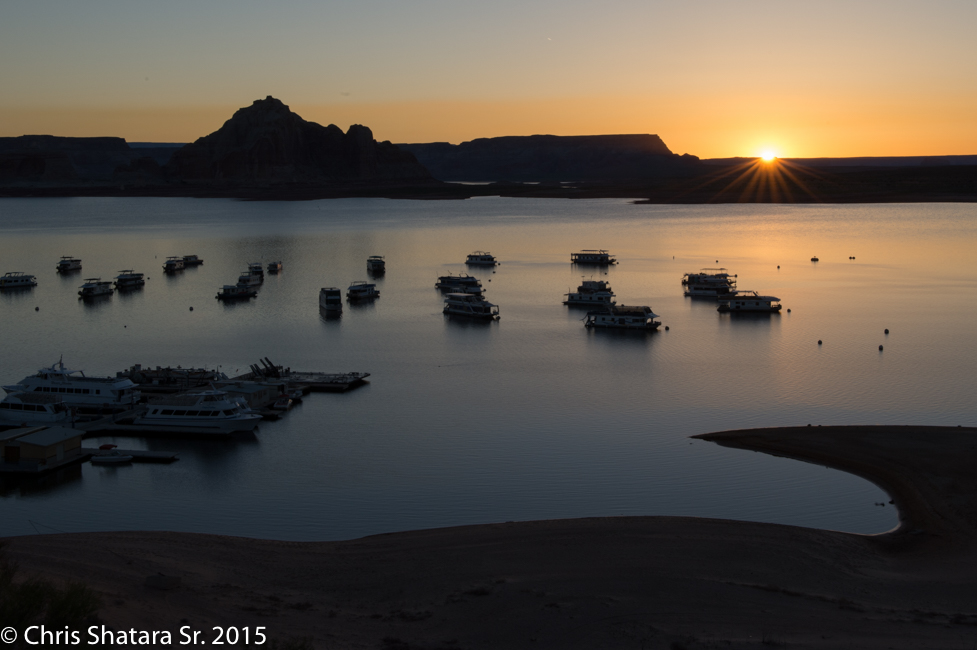
Sunrise over Lake Powell
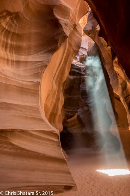
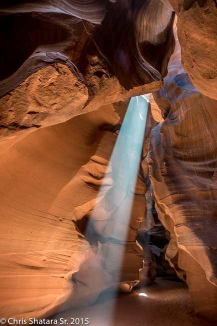
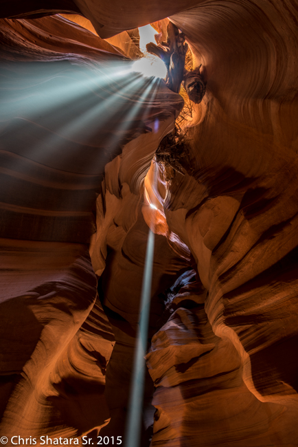
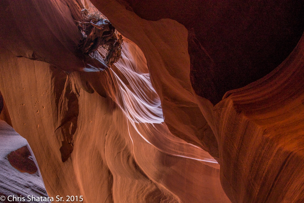
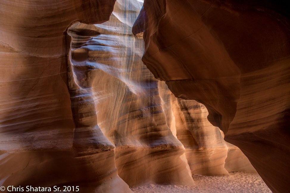
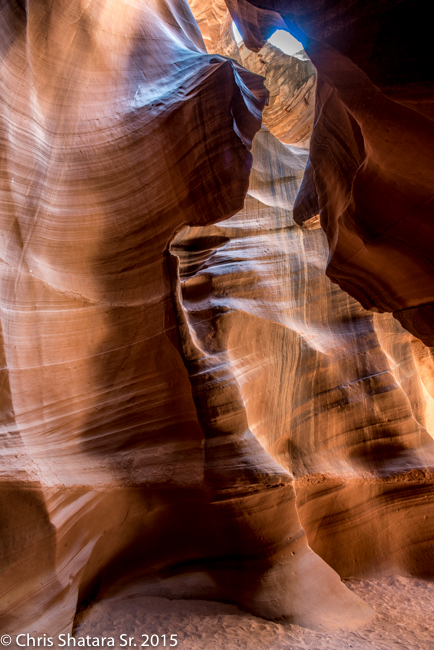
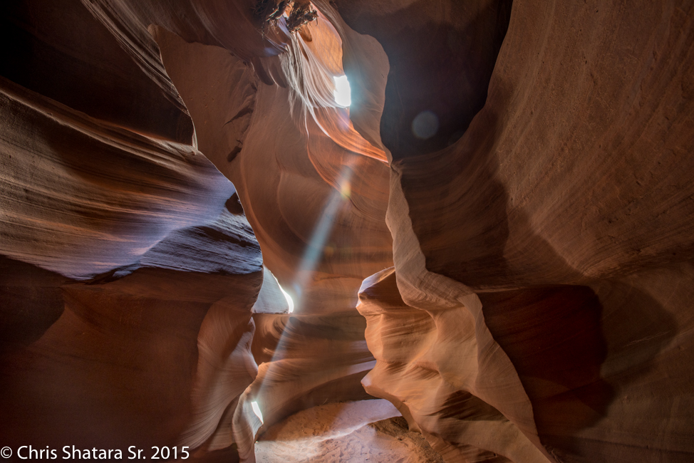
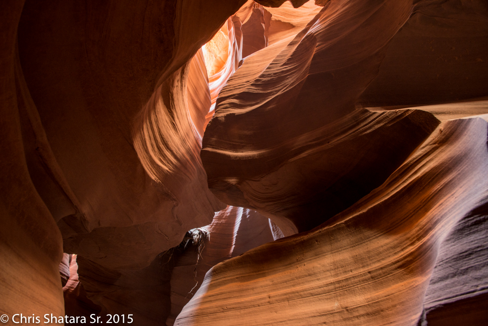
Sun beams catching the dust in the Upper Antelope Canyon
It was amazing that we were able to get these shots. The place was far too crowded. The Indians have totally lost control of the process.
Upper Antelope Canyon
Upper Antelope Canyon
Upper Antelope Canyon
Upper Antelope Canyon
Upper Antelope Canyon
Upper Antelope Canyon
Upper Antelope Canyon
Upper Antelope Canyon
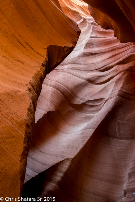
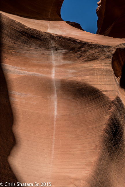
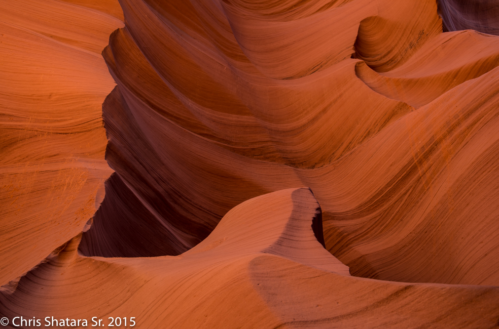
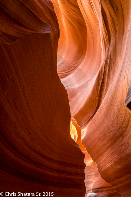
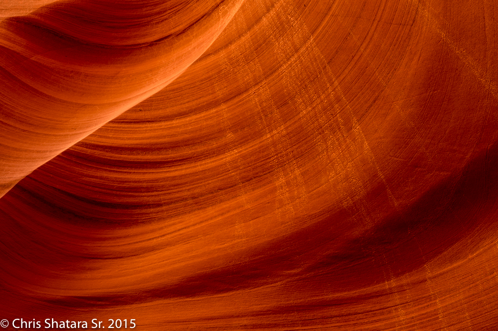
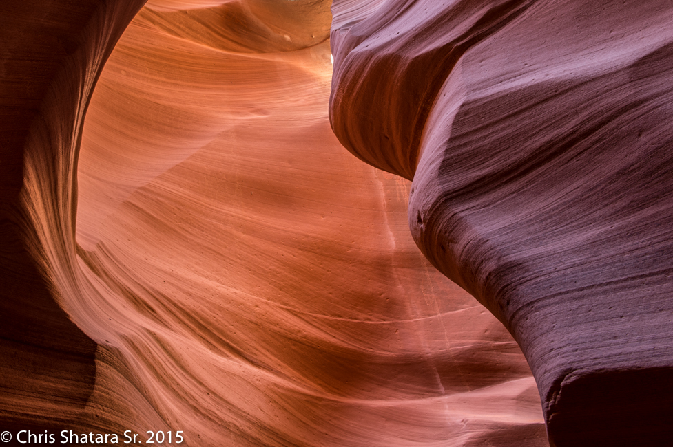
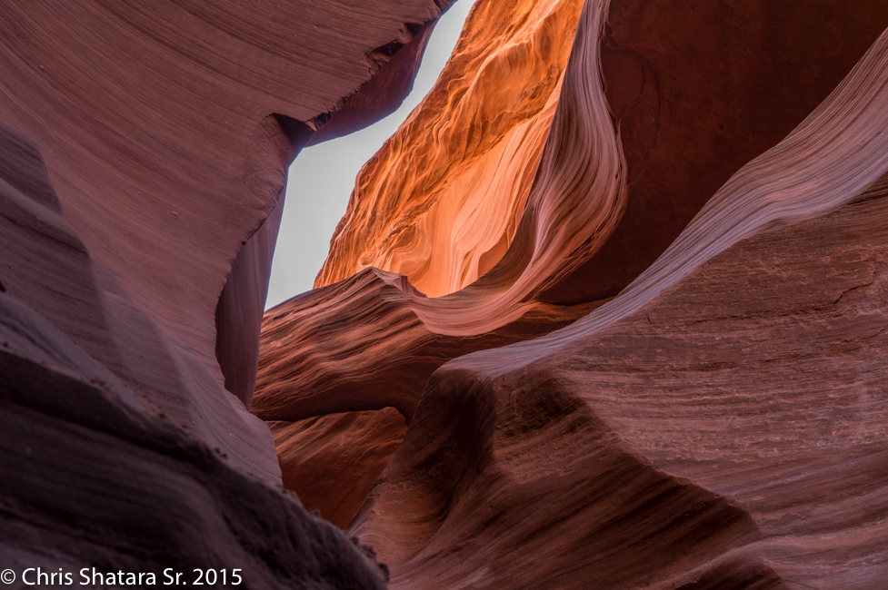
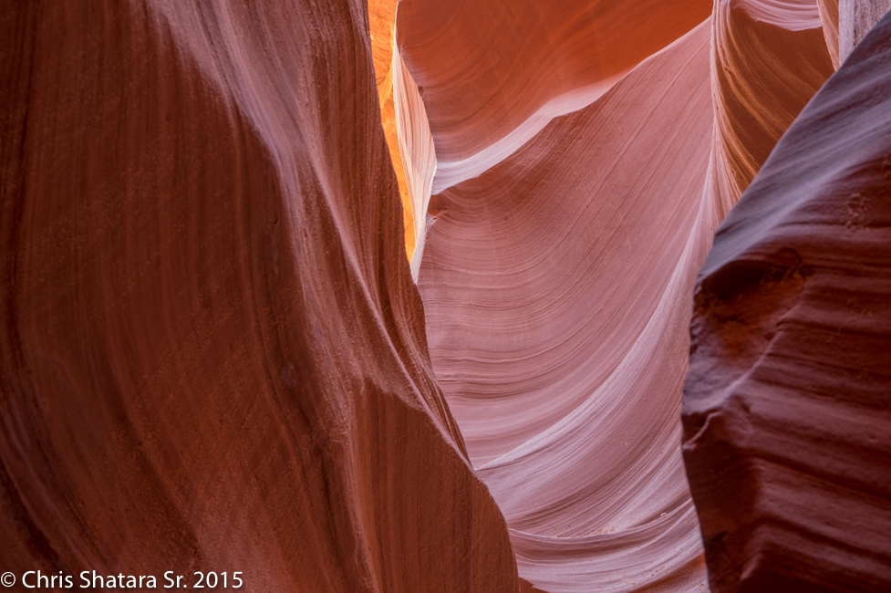
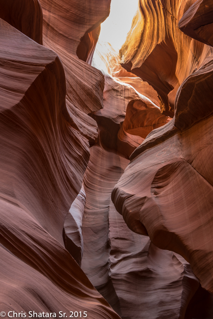
Lower Antelope Canyon - The lower canyon is deeper and narrower than the upper and thus has fewer visitors.
Lower Antelope Canyon
Lower Antelope Canyon
Lower Antelope Canyon
Lower Antelope Canyon
Lower Antelope Canyon
Lower Antelope Canyon
Lower Antelope Canyon
Lower Antelope Canyon
The Colorado River below the Glen Canyon Dam
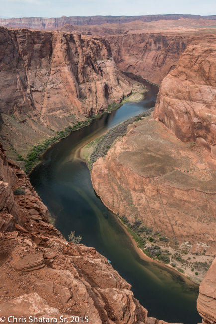
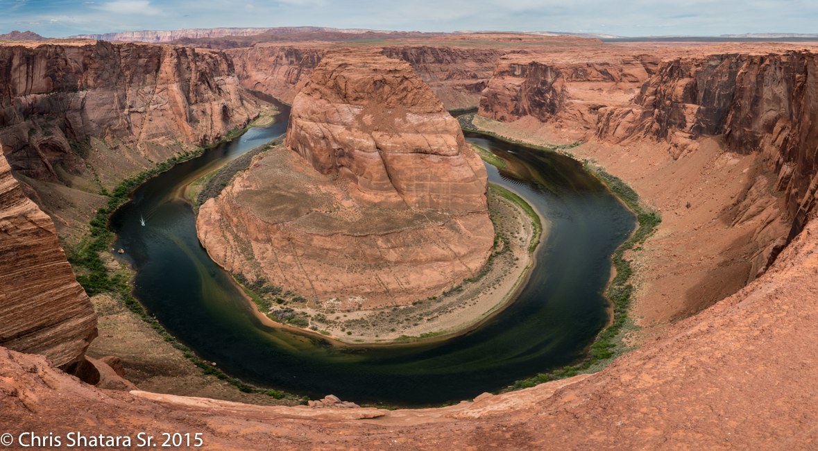
Horseshoe Bend of the Colorado River
The area had gotten quite a bit of rain and the vegetation was quite effervescent.
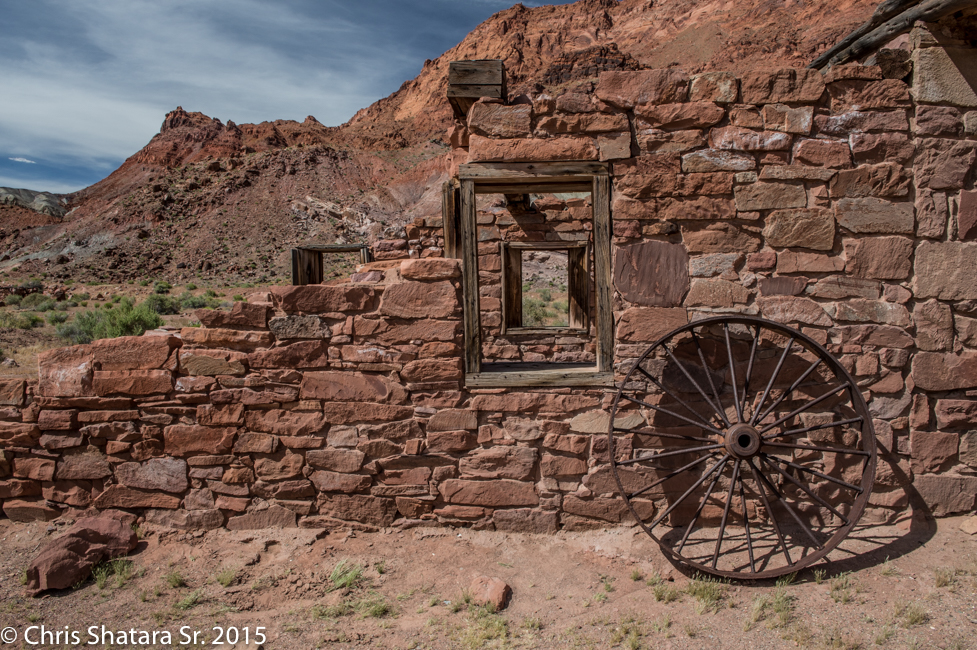
The fort at Lee's Ferry - The only crossing across the Colorado until the 1920s when a bridge was built.
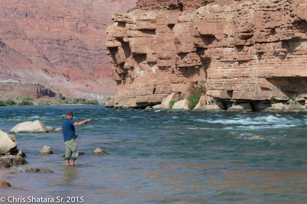
The Colorado River at mile "0" for the rafters heading down to the Grand Canyon.
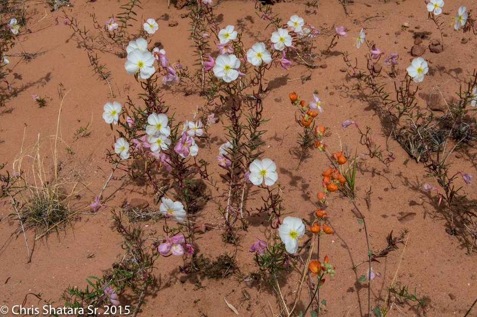
The rain allowed all sorts of wild flowers to pop up!
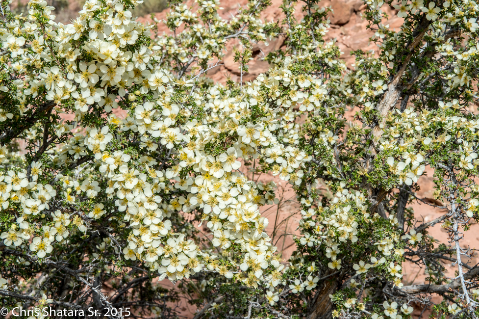
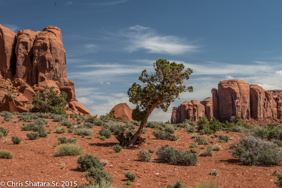
I've never seen a juniper or a cedar flower like this
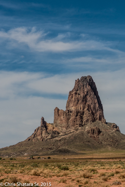
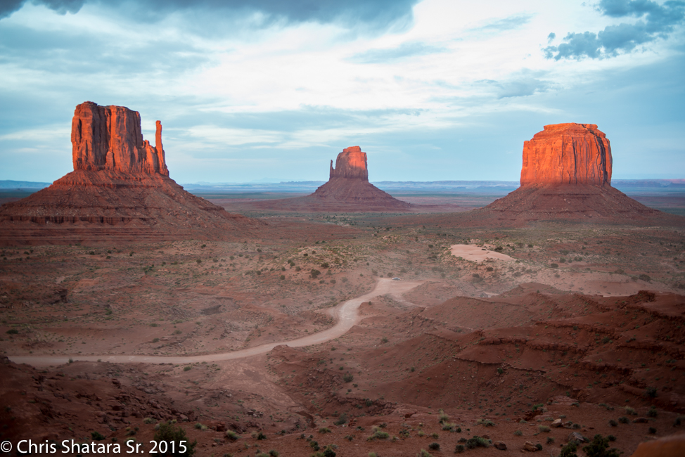
Agathia Peak, rising 1500 feet above the ground, looks like a guard at the entrance to Monument Valley
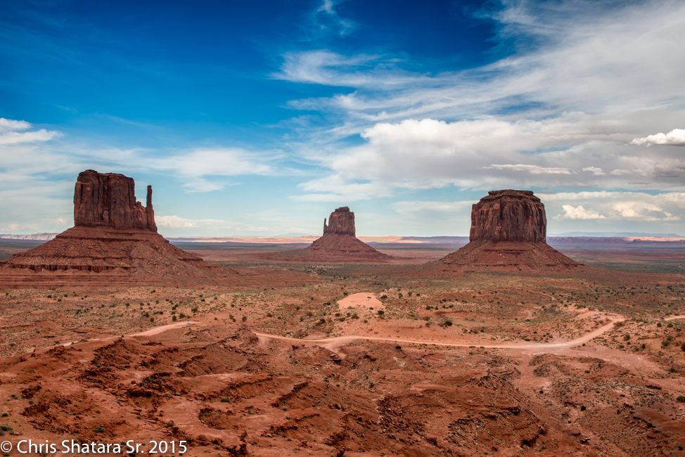
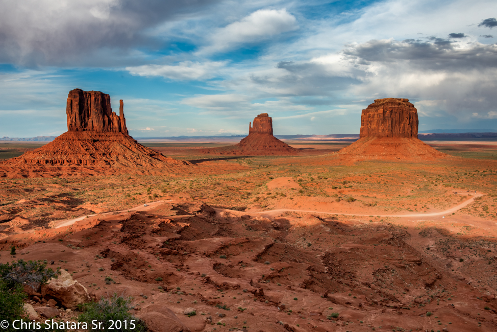
(L-R) West Mitten, East Mitten and Merrick Butte
Sunset approaching
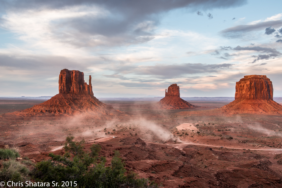
Vehicles in the valley stirring up the dust.
The sunset is muted due to all the dust in the air. A dust storm was brewing behind us.
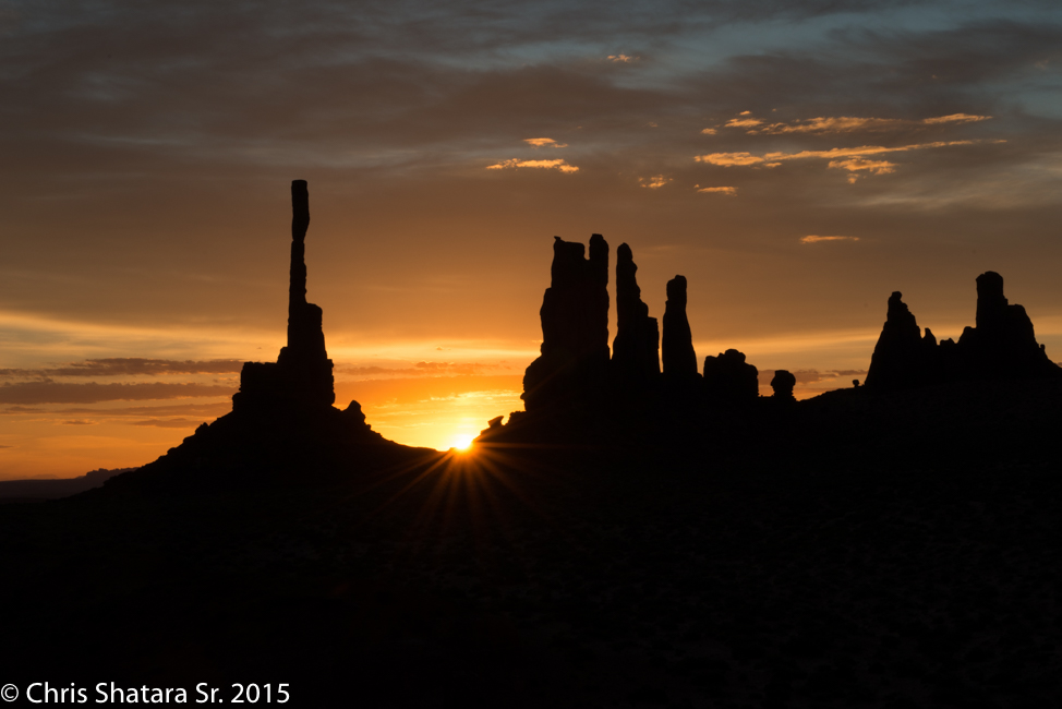
Sunrise at the "Totem Pole"
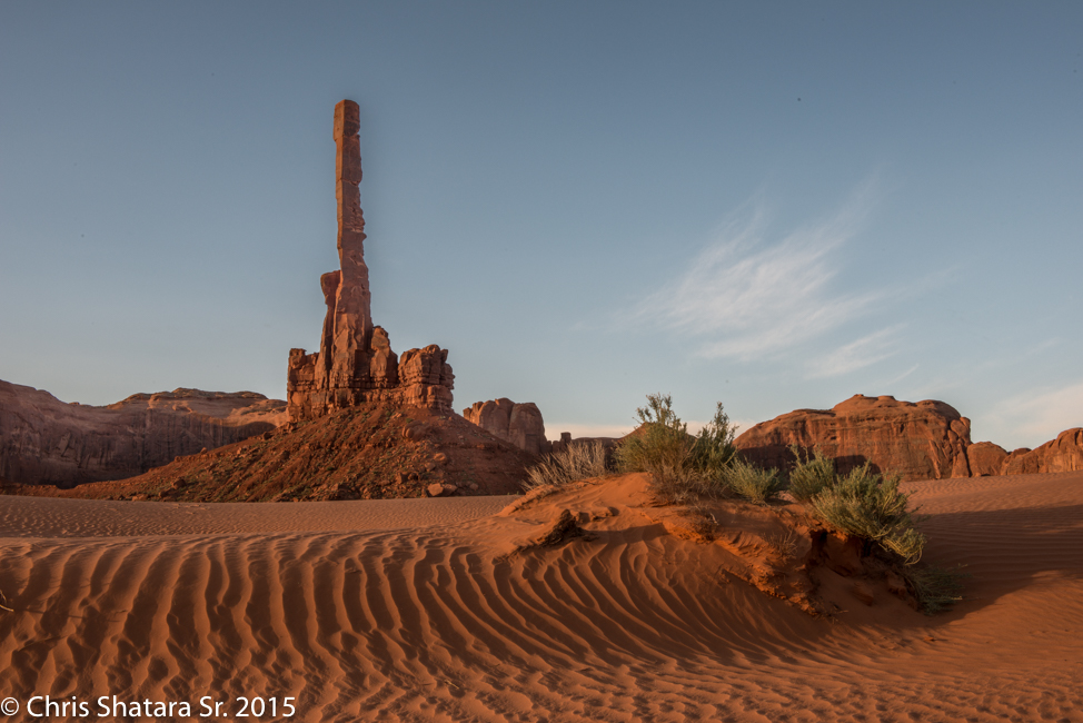
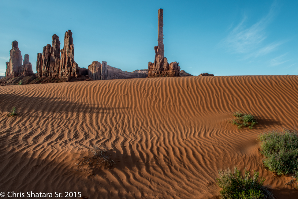
The Totem - can only be visited with a Navajo guide.
The formation on the left is called Yei Bi Chei which roughly translates to "..Dancers emerging from a Hogan".
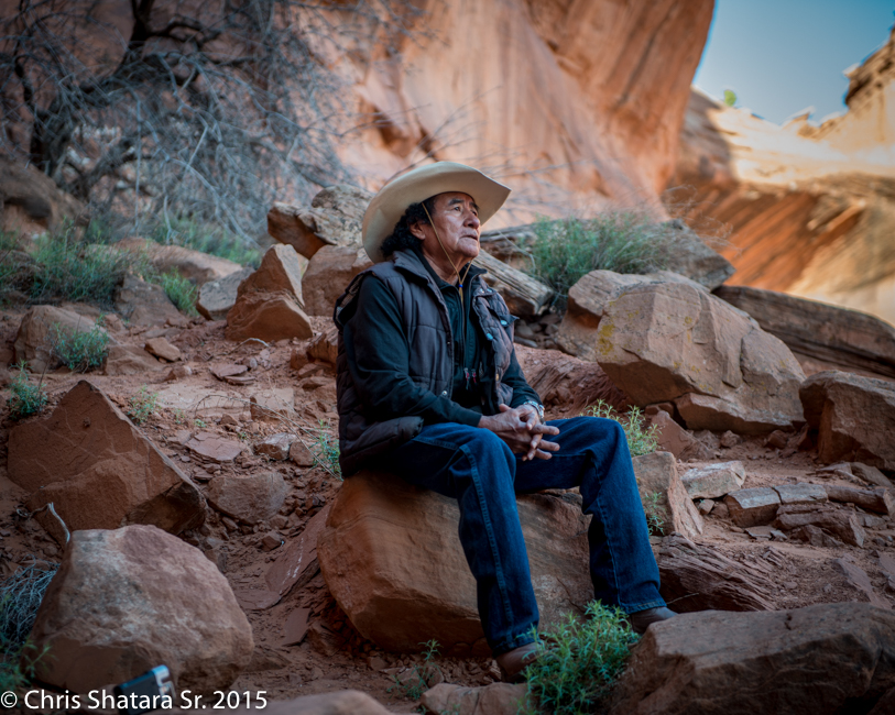
Our guide, Don, teaches Navajo history at the high school in Mexican Hat. Here he is singing a song giving thanks for all that surrounds him.
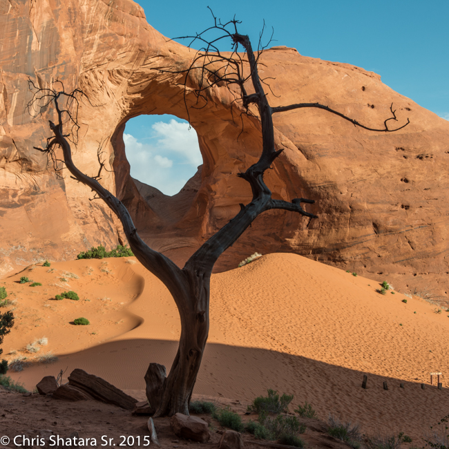
This formation is called "Ear of the Wind" by the Navajos.
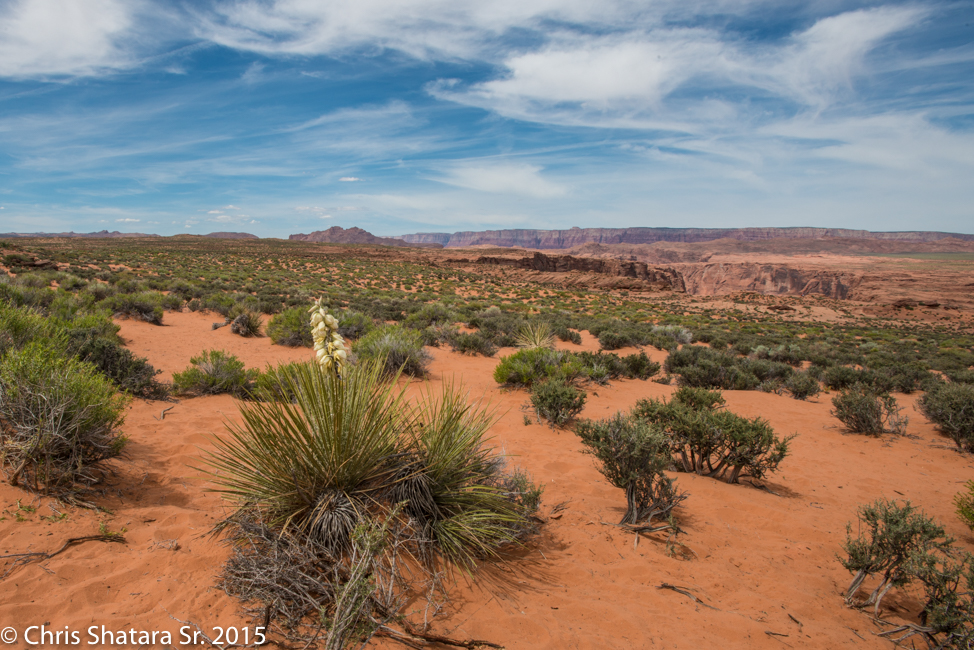
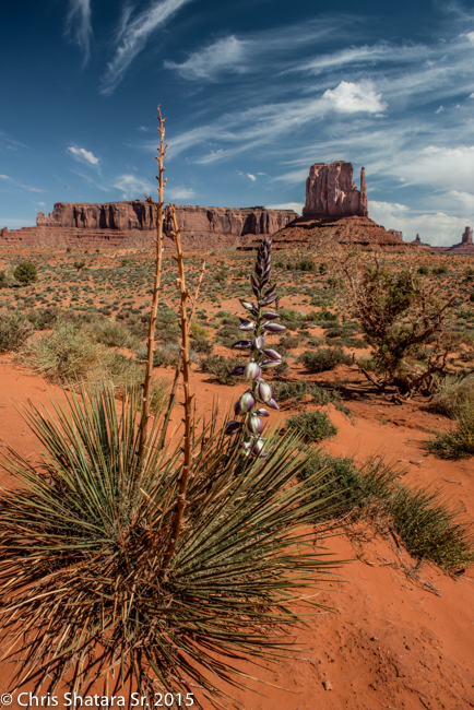
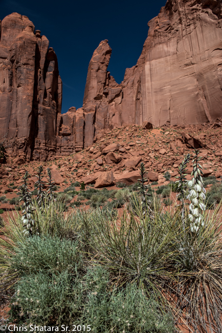
From all the recent rains, Yucca plants were in bloom everywhere.
The North Window
Rain God Mesa
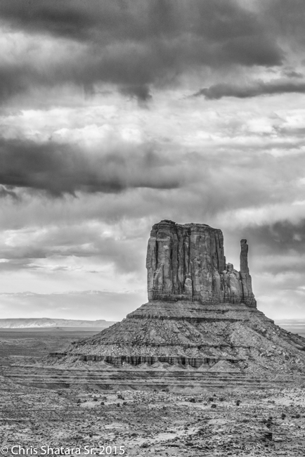
West Mitten
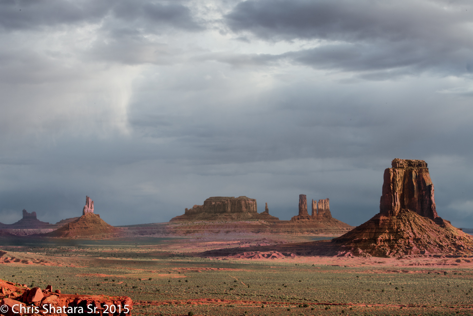
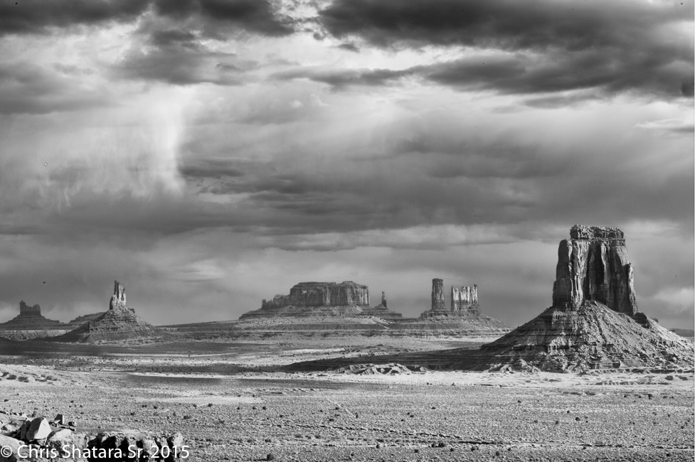
Sunrise at Artist's Point
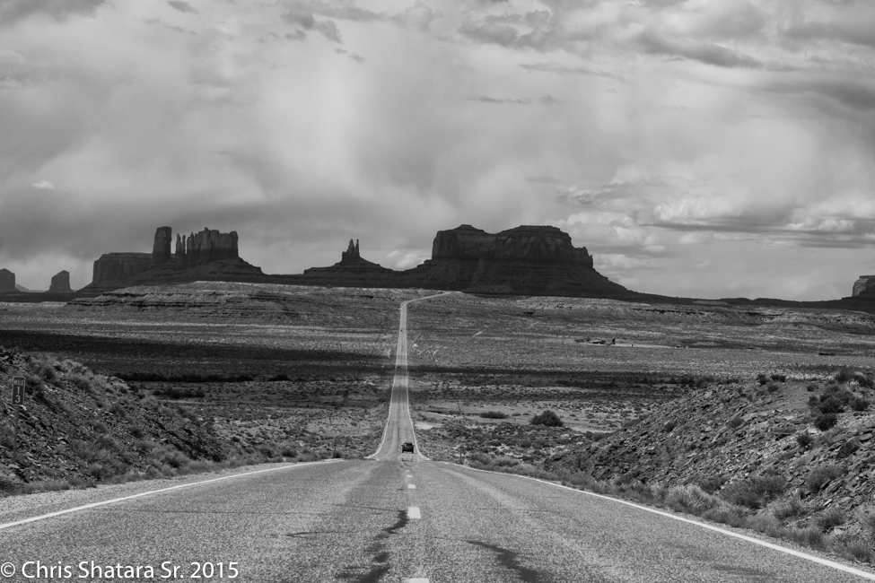
The shot looked more dramatic in black and white
This is the point where Forest Gump was filmed jogging through Monument Valley
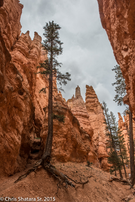
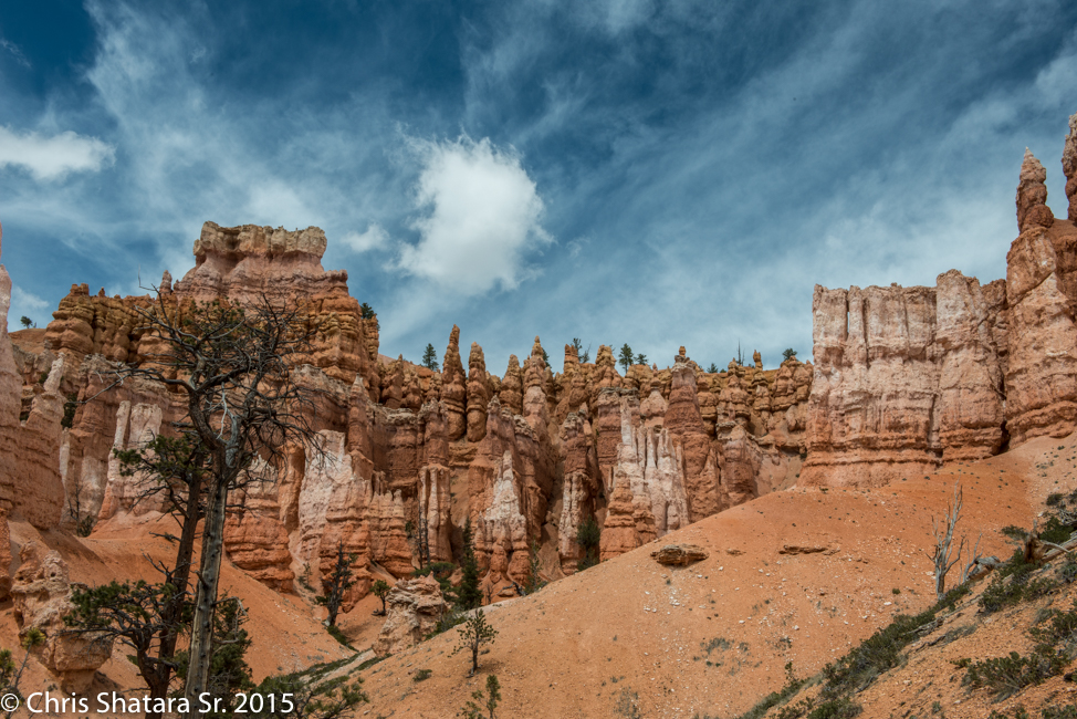
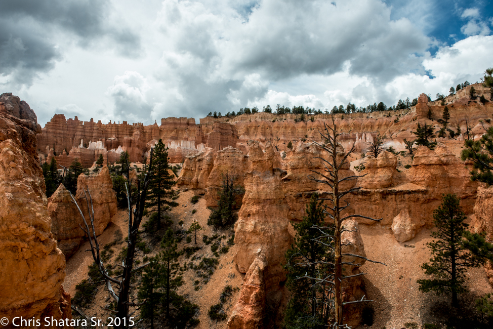
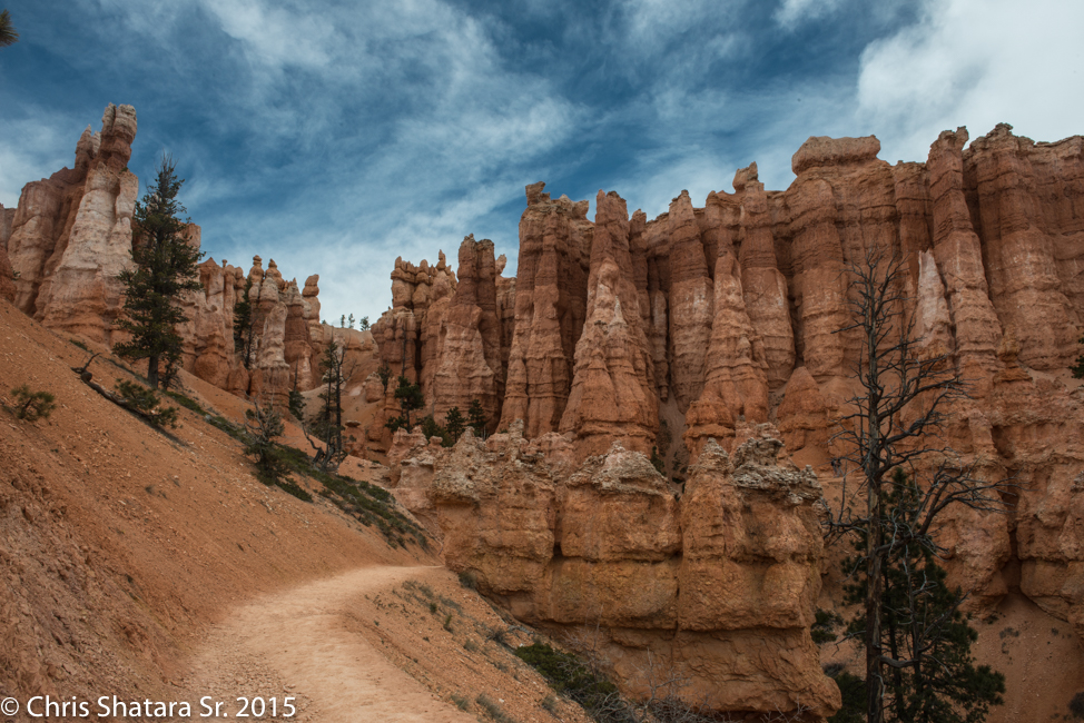
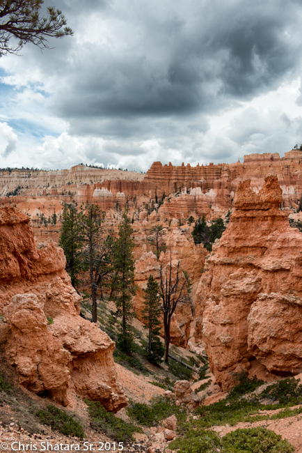
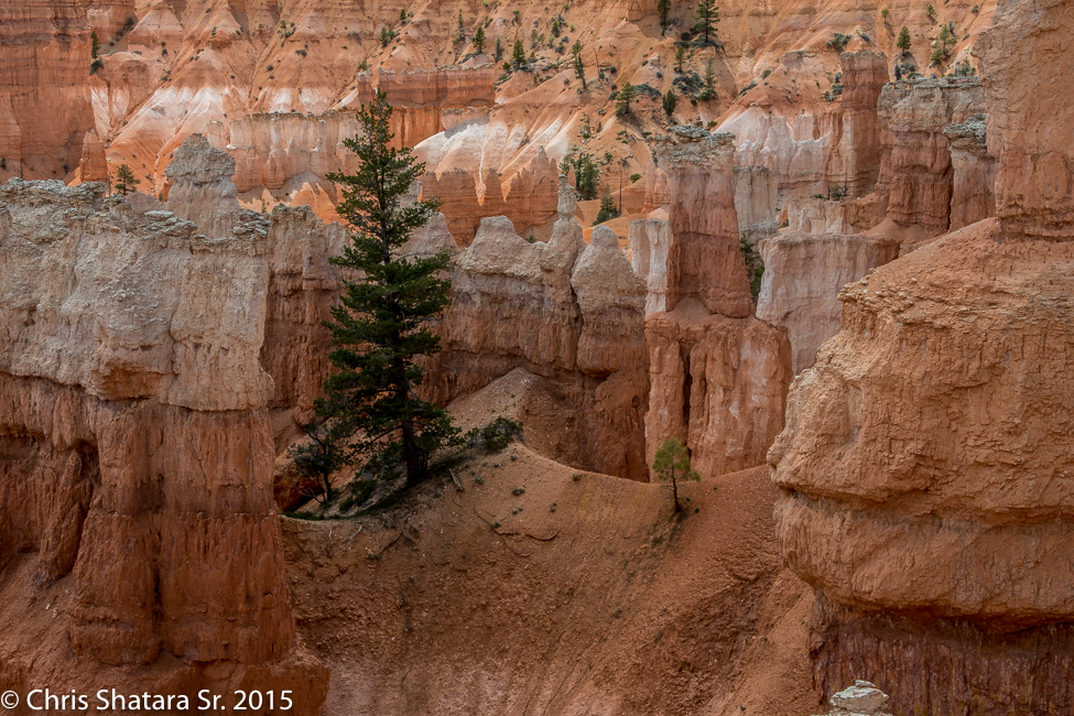
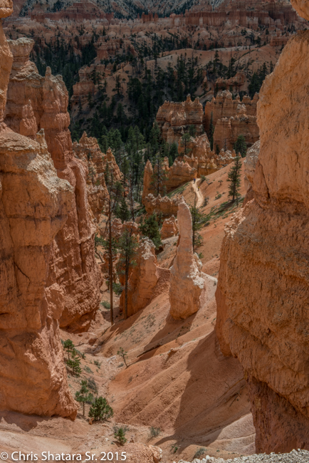
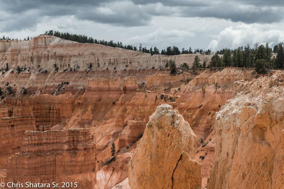
Bryce Canyon - Near the bottom of the canyon on the Navajo Loop Trail
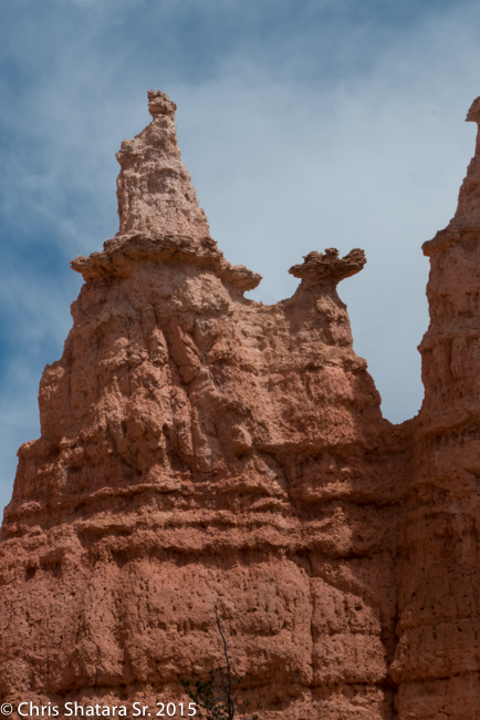
The spire on the left is called Queen Victoria
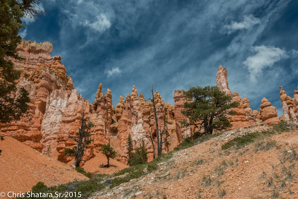
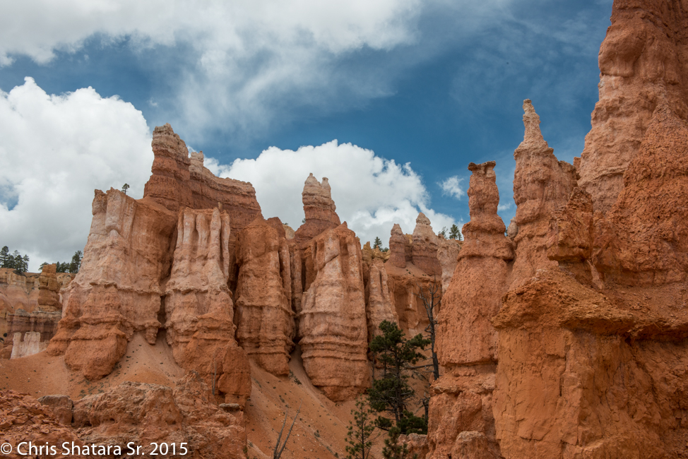
These Hoodoos are the result of water getting into the rocks, freezing and breaking off pieces of the rock. These spires are constantly changing.
These Hoodoos look like soldiers
Bryce Canyon National Park
Queen's Garden Trail
Bryce Canyon National Park
Bryce Canyon National Park
Bryce Canyon National Park
Bryce Canyon National Park
Toward the center top of the picture is Sunset Point, where I started this hike.
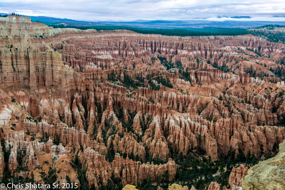
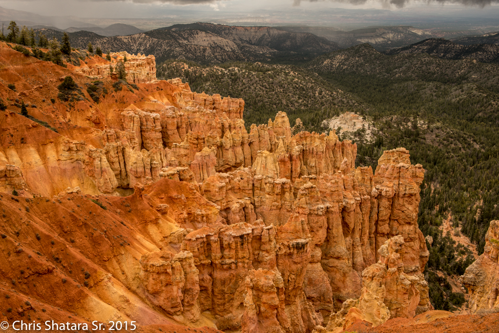
Bryce Point - overcast skies and rain made for poor sunrise and sunset shots.
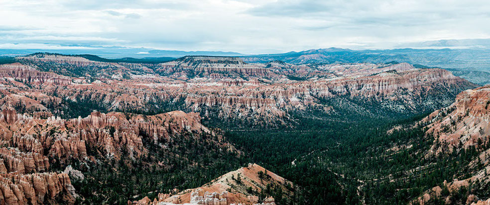
Bryce Point Panorama
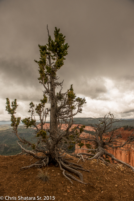
e Pine at the end of the Promontary on the Bristlecone Loop Trail
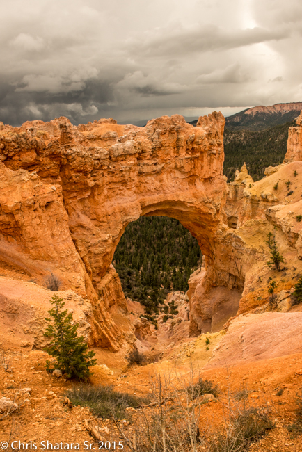
Natural Bridge - In actuallity it is really an arch. Bridges are formed by running water. This was formed by the same process that created the Hoodoos.
69 - 69
<
>